Topographic & Aerial Surveys
Our Topographic and Aerial survey capability has been developed to help us provide a full “one stop shop” type of service for our clients. We are able to save time and money for our clients by using our own survey data in the preparation of :
- Flood Risk Assessment and Flood Consequence Assessment reports;
- Flood modelling studies and Flood Map Challenges;
- SuDS and Foul drainage designs; and
- Monitoring surveys and reports.
Our surveys can comprise of GPS points to Ordnance Survey Coordinates and Datum or the production of detailed and accurate point clouds; rectified aerial imagery; 3d CAD drawings and sections.
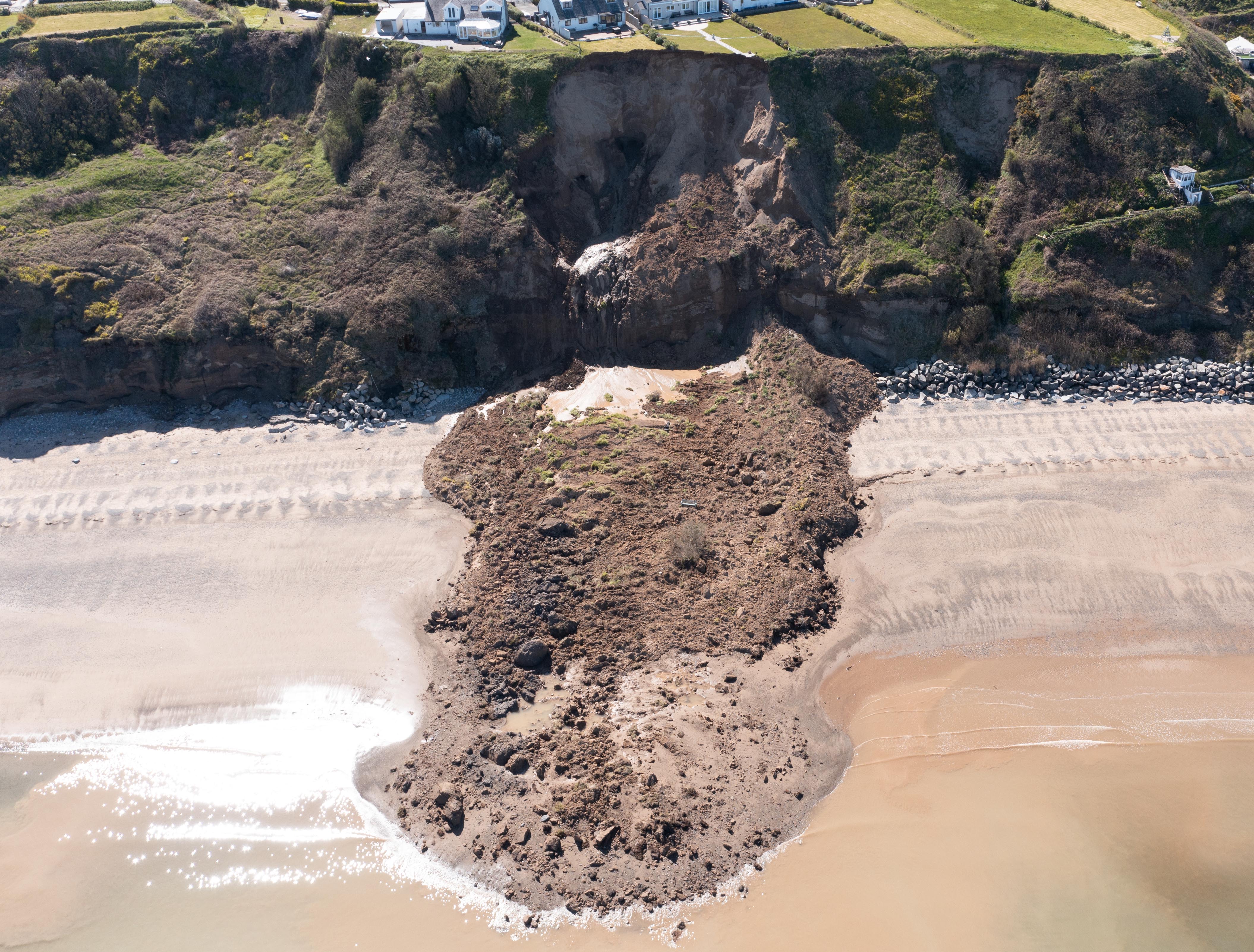
We can combine our UAV and topographic survey data with hydrographic survey information to provide a seamless dataset of above and below water for estuaries, beaches, harbours, lakes, rivers and waterways. Not just pretty pictures from the sky, although we can supply these as well!
We are licenced for Commercial Operations by the Civil Aviation Authority and fully insured.
Please call us on 01341 421911, Email us or use the contact form and we will get in touch to discuss your requirements.
Georeferenced drone surveys and inspections.
- Full UK coverage
- Fully quallified and insured operators
- Quick turnaround available
- High resolution rectified photography, CAD and GIS outputs available
- Survey and inspections